Maps
Need help finding your way around Greater Shepparton?
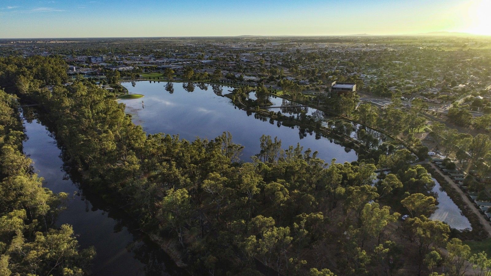
Explore Greater Shepparton
Enter your address and see what services and facilities are nearest to you. Greater Shepparton's "Pozi" mapping system offers easy access to a wealth of Council-held information.
You'll find:
- bin collection zones
- sports reserves
- schools and playgrounds
- public toilets
- walking tracks
- public transport stops and routes
- parking locations
At the click of a button, you can also reveal planning zones and overlays, and turn features on and off to display your own custom map.
The data is automatically synchronised to our database systems to ensure accurate, up-to-date location details. It also has an easy search function and intuitive navigation to help you to quickly find the information you need.
Mobility Map
We have an interactive map which shows accessible facilities and wheelchair effort for selected parts of our region. It includes accessible parking, toilets, scooter recharge points and accessible change rooms.