The Draft Stage 1 Traffic Study Report has been prepared by Traffic Works Pty Ltd, a Melbourne based specialist traffic engineering firm who have done a variety of similar studies for Greater Shepparton City Council, VicRoads and other Councils in the past.
The draft report was received on Thursday 17 April just prior to the Easter break. Council staff reviewed the report over the Easter break and it has been released to the public at the earliest opportunity on Tuesday 22 April 2014.
The report is only a Stage 1 report and as such, reflects basic traffic count and modelling data for traffic flows in and around the area impacted by the proposed closure of Andrew Fairley Avenue. In some cases the report is based on modelled data rather than actual observations. Council has instructed Traffic Works to complete some additional counts to verify their modelled data. It does not examine traffic management measures arising from the Stage 1 report - these will be dealt with in the Stage 2 report.
The Stage 1 report does not include an analysis of pedestrian and cyclist movements. These are being conducted today.
The roundabout at the intersection of Hawdon Street / Balaclava Road / Verney Road and New Dookie Road will be included in the Stage 2 report.
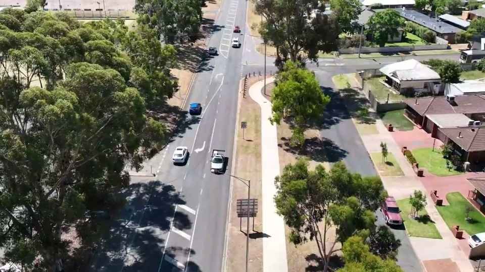
The report indicates that Council roads in the vicinity of Andrew Fairley Avenue now carry traffic volumes ranging from 3,500 to 12,000 vehicles per day. With the proposed closure of Andrew Fairley Avenue, these volumes are predicted to increase to 4,500 - 12,500 per day in the short term, rising to 5,500 - 14,500 per day over 10 years.
The Midland Highway carries approximately 18,000 vehicles per day now and will grow to 22,000 over the next 10 years with the proposed closure.
The centralisation of SPCA's operations to the Shepparton site has resulted in a slight reduction in overall SPCA generated traffic, primarily due to a reduction in inter-factory traffic movements.
Traffic queuing at intersections of local roads has been identified as an issue in the Stage 1 report. Traffic Works have been instructed to complete detailed counts at these intersections this week to verify their modelled data. Intersection redesign, including signalling, may be required to improve traffic flows and will be the subject of recommendations in the Stage 2 report.
Intersections identified that show modelled traffic flows close to theoretical saturation points include:
- Old Dookie Road / Wheeler Street during the afternoon peak (this intersection is already signalised. Traffic Works are conducting manual counts at this intersection on Tuesday 22 April 2014 to check the veracity of the modelled data)
- Fryers Street / Thompson Street at the afternoon peak (Traffic Works are conducting manual counts at this intersection on Tuesday 22 April 2014 to check the veracity of the modelled data)
Lockwood Road has been identified as a road that will potentially need redesign in the next 10 years.
The Stage 2 report is being developed by Traffic Works at present and Council expects it to be available to Council and the public in early May 2014.
The reports can be found at http://www.greatershepparton.com.au/council/communityconsultation/consultation/andrewfairleyave/