The Report updates the flood intelligence and mapping tools in the previous Shepparton Mooroopna Floodplain Management Study: Floodplain Management Plan October 2002. It was funded by the Federal and State governments and Council.
It updates the existing information on flood risk within the Shepparton-Mooroopna-Kialla areas. The project involved detailed hydrological and hydraulic modelling of the Goulburn River, Seven Creeks and the Broken River, producing flood mapping and flood intelligence information.
The Report:
- collects and reviews data relevant to flooding within the study area;
- provides a rigorous hydrologic analysis to develop robust design flood estimates for the study area including consideration for the timing and potential combinations of Goulburn River, Broken River and Seven Creeks riverine flooding;
- develops and calibrates a detailed hydraulic model that can predict flood impacts across the complex floodplain;
- provides flood mapping of many potential design flood scenarios;
- develops an online flood mapping portal;
- quantifies flood risk at a property specific level; and
- reviews flood warning and emergency response, and an update to the Municipal Flood Emergency Plan.
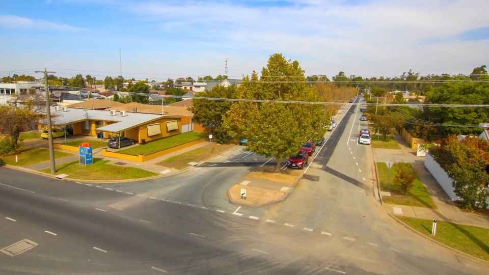
The study area considered in the Report is upstream of Shepparton to Toolamba, downstream of Shepparton to Loch Garry on the Goulburn River, upstream of Shepparton to Kialla East on the Broken River and upstream of Shepparton to Kialla West on Seven Creeks.
This important document will ensure that flooding impacts are considered as part of the assessment of any proposed buildings and works on flood prone land.
In line with State and regional flood strategies, a priority outcome of the project was to share the updated flood mapping and intelligence information with stakeholders and the wider community.
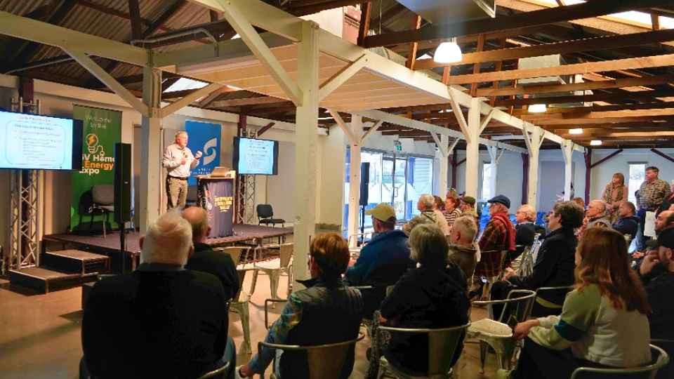
Council considered a draft Report at the Ordinary Council Meeting held on 18 September 2018 and resolved to release the Report for public comment in October and November 2018.
Meetings were held with eight interested parties. A total of three submissions were received during the public consultation stage and one change was made to the Report as a result of these submissions. All submitters and other parties who expressed an interest in the Report were invited to present their concerns to Councillors on 12 February 2019.
In addition the Greater Shepparton City Council Municipal Flood Emergency Plan August 2018 was also adopted at this month’s Ordinary Council Meeting. The Plan details arrangements for the planning, preparedness/prevention, response and recovery from flood incidents within Greater Shepparton.
The Plan is a sub plan to the Greater Shepparton City Council Municipal Emergency Management Plan (MEMP) and is consistent with the Emergency Management Manual Victoria (EMMV) and the Victorian Floodplain Management Strategy (DELWP, 2016).
The Plan is consistent with the Regional Flood Emergency Plan and the State Flood Emergency Plan. The purpose of the Plan is to detail arrangements agreed for the planning, preparedness/prevention, response and recovery from flood incidents within Greater Shepparton.
As such, the scope of the Plan is to:
- identify the Flood Risk within the Greater Shepparton municipal area;
- support the implementation of measures to minimise the causes and impacts of flood incidents within the City of Greater Shepparton;
- detail response and recovery arrangements including preparedness, incident management, command and control; and
- identify linkages with local, regional and state emergency and wider planning arrangements with specific emphasis on those relevant to flood.
Greater Shepparton City Council Director Sustainable Development, Geraldine Christou, said the Report and Plan offer clear guidance to Council and communities in respect to land development and flood resilience.
“The Shepparton Mooroopna Flood Mapping and Flood Intelligence Project Report March 2019 and the Greater Shepparton City Council Municipal Flood Emergency Plan August 2018 will help minimise risk and damage to property,” said Ms Christou.
“The Plans will ensure that arrangements are agreed to for the planning, preparedness/prevention, response and recovery from flood incidents within the Greater Shepparton municipal area,” she said.